Distance = 30.28
Time = 2.24.50
Max speed = 23.5
Average speed = 12.5
I have a book of maps from the local cycling club. The maps sorta suck. They're basically where you need to be. But not always. And there seems to be no consistency regarding scale. I've learned this so I try to be careful not to rely to heavily on them. For this ride we knew we couldn't go to Red Wing and do the whole 85 mile loop. Well... we could have. But it would have taken 2 days. So we decided to try it with some modifications. There is a small township with a store that Lorrie wanted to check out and which is featured in this little booklet. Seemed like a reasonable goal. Figured it would be about 40 miles or so total. We rode out Woodley to Cty Rd 42 toward Dennison. There are sprint races to town signs on the cycling club rides... so I did my own sprint. I beat myself... or lost. Not sure. Anyway, we stopped in Dennison to be sure we were still on track. As usual, time was an issue and we didn't want to be out there all night. We decided this little township was just too far for the day. Remember, the maps are not to scale so sometimes ya just can't tell until you get out there. No, I don't carry a road map. Yes, I know that would be smart. So we decided to head toward Cannon Falls after crossing over Hwy 52. But then it seemed to me like if we got to Cannon Falls, the way back to Northfield would take us out and around and it would be pretty late. Yes, I was worried about it getting dark. No, I haven't learned my lesson yet. So we stood on this little road and bounced ideas around before deciding to head to Cannon Falls. But then my gut said it was a bad idea. The main problem was that to go the way I thought we should would be on a major Hwy (52) and then on a very busy Cty Road (19), which has heavy semi-truck traffic. I wasn't sure which would be the worse place. So I stopped, said my gut suggested the worse but faster roads, and off we went to follow my gut. 52 wasn't as bad as I thought it would be. The shoulder was pretty good. This photo is of Lorrie at the end of Hwy 52 before we turned onto Cty Road 19.
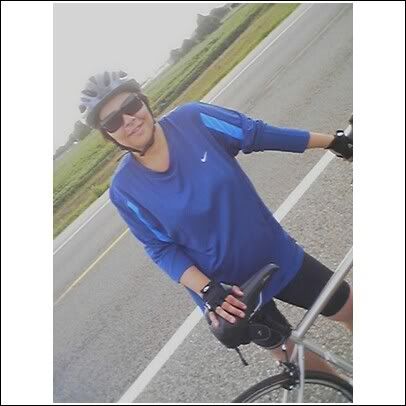
Then we turned south on Cty Rd 19. *That* was scary. I told Lorrie we just needed to stick very close to the side and be aware of the sound of trucks coming behind us. But for the most part, there really was nothing we could do but ride and hope that people saw us. So we rode... and lived. Nothing spectacular. A few trucks, lots of cars. I never want to ride that road again!
No comments:
Post a Comment